Hike Report for Cranberry Peak
Cranberry Peak is located in Maine, United States. It has an elevation of 967 meters above sea level. It is located at the following coordinates: (45.1408, -70.3803).
This hike report was written by Douglas Twitchell, about a hike on Thursday, June 30, 2005.
Not enough votes to display a rating
Directions to Trailhead
To do this hike, you'll need two vehicles, one at each trail head.
Park the first car on the Stratton Brook Road. Coming north from Kingfield, you pass the Sugarloaf entrance, about 2.7 miles later you find the Stratton Brook Road on the right. Drive in about a mile, and park by the fork in the road.
Park the second car in Stratton: as you are driving through the village you will see a small street sign for "Currie Road". Drive in here and park near the Bigelow sign.
Hike Report
My friend Jason and I hiked this one together, because I was bringing my church youth group up a couple weeks later to hike it, and I wanted to make sure I knew what we were getting into first!
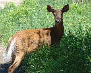
We started about 1:00 in the afternoon from Stratton, and took our time, stopping regularly just to chat, and look at the wildlife. Got some nice pictures of deer, chipmunks, and other interesting things.
About a third of the way into the hike it turns a little steep for awhile, but not so steep you have to use your hands at all to climb. Once you get past that steeper section, it just feels like a relaxed stroll through the woods most of the rest of the way.
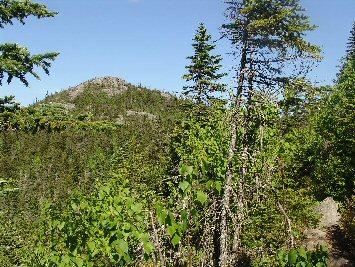
At one point near the end you come into a clear spot where you can see beautiful views of Flagstaff lake to the north. And, as you look ahead, you catch a glimpse of the peak, which appears to be a ways off...but in reality, once we saw the peak we were only 15 minutes hike away from it.
There is a cave on the way up, or so I've been told; unfortunately we somehow missed that.
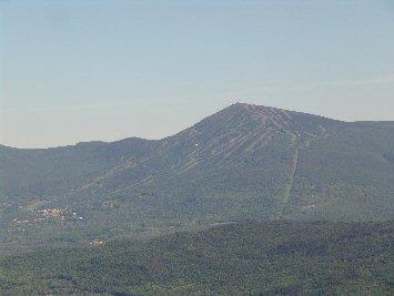
Views from the top are very nice (although not as nice as the neighboring Avery Peak). You can see Sugarloaf, Flagstaff Lake, and much more.
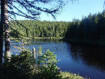
On the way down you come to Cranberry Pond, which is a very pretty spot. However, the pond has the Giardia bacteria, which can make a person very sick, so don't go near the water!
After a brief stop at the pond to take some pictures, Jason and I continued on. At some point during the descent you'll come across rather large boulders by the side of the trail, which are fun to climb on. Be aware, though, that the tops of these boulders are mossy, and can be slippery.
The trail intersects the Appalachian Trail after Cranberry Pond, and you follow the AT the rest of the way down to the parking area where you parked your first car.
Difficulty
Mostly I found this hike to be fairly easy; there is a steep stretch about a third of the way up, but once you get past that, it's a leisurely stroll through the woods with a slight upgrade. It is a lengthy hike, however; with a group of teenagers the total time spent was 7 hours.
Statistics
The hike took us about 3 hours up, and just about 2.5 hours down the other side, with a half hour rest at the peak. Cranberry's elevation is around 33, 34 hundred.
Images


Images on this page are the property of Douglas Twitchell, and may not be used without permission of the owner.


