Hike Report for Burnt Meadow
Burnt Meadow is located in Maine, United States. It has an elevation of 495 meters above sea level. It is located at the following coordinates: (43.9167, -70.9167).
This hike report was written by Douglas Twitchell, about a hike on Monday, June 2, 2008.
Not enough votes to display a rating
Directions to Trailhead
If you are approaching Burnt Meadow from the north or the east, you'll come into Brownfield on Rte 160. When 160 intersects 5 and 113*, go straight on 160 for one more mile. Here 160 takes a sharp left turn. Follow 160 for exactly two miles, and you'll see a small parking area on the right. This is where you should park.
In this small parking area, you'll see the trail head on the right. It is clearly marked with blue blazes.
*Instead of continuing straight at the intersection of 160 with 5 and 113, you can cut across the intersection to Pig Street, which will reconnect with 160 and save a mile or so.
In this small parking area, you'll see the trail head on the right. It is clearly marked with blue blazes.
*Instead of continuing straight at the intersection of 160 with 5 and 113, you can cut across the intersection to Pig Street, which will reconnect with 160 and save a mile or so.
Hike Report
Jonathan, Melody, and I decided to hike Burnt Meadow today. We started out at about 1:00 in the afternoon. We had no trouble finding the trailhead, and all along the way the trail was very clearly marked.
There are no forks in this trail, so once you get on the trail, you'll have no trouble finding the peak.
There were a couple geocaches along the way that Jonathan & Melody wanted to stop for - one about two thirds of the way up, and the other at the peak. That was my first experience with geocaching.
Once you get near the peak, you'll find that the last little bit is fairly steep, but not so steep that children couldn't do it with a little bit of help.
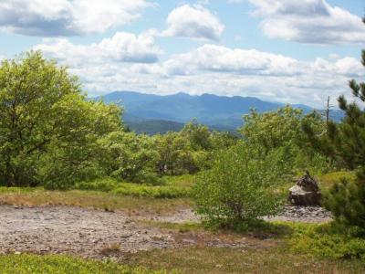
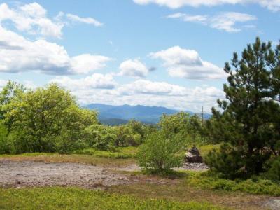
The peak is a large plateau, and I noticed a couple places where people had built small campfires, so apparently there are people who like to camp up there.
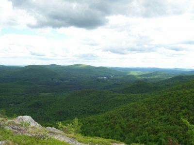
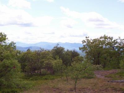
The views are nice, but not spectacular. This region of the state has a lot of hills but no really grand mountains. Still, the rolling hills to the east are quite nice. To the west you can see the White Mountains, which are quite attractive, though slightly obscured by the trees.
The hike back down was uneventful, and we arrived back at our vehicles about 2.5 hours from when we left.
Difficulty
When we hiked this mountain, we hadn't gone far before someone said, "Well, there isn't a nice leisurely walk through the woods to get warmed up." That's true. You start climbing as soon as you leave the parking lot. The trail does a lot of switchbacks, which keeps the trail from getting too steep. Although, when you get near the peak, you'll see that it starts climbing more rapidly.
The last ten minutes of the hike was the hardest, as you have to clamber over rocks to reach the peack. Young children might need some help from a parent getting over the rocks.
Overall, this is not too difficult, and young children will be able to do it as long as an adult is there to help them over the steeper parts.
Statistics
It'll take you about an hour and a half to hike up, then another hour to hike back down.
Images


Images on this page are the property of Douglas Twitchell, and may not be used without permission of the owner.


